
|
2001 Aug. 25 - Crocker Mtn (N&S) |
|
|
| Sugarloaf from Crocker South Peak |
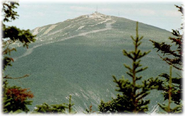
| Crocker Mountain has two peaks - the south peak is 4010 feet, the north peak 4168 feet. Neither has great views, though the trail between Caribou Valley Road and the south peak has several scenic points including a nice view of Crocker Cirque. |
|
Directions
One mile west of the Sugarloaf/USA entrance on Maine Route 27 (16), turn south on Caribou Valley Road. The Appalachian Trail crosses the road at 4.5 miles from route 27. There is a small parking area on the right just before the trail crossing. |
Trail
Take the AT northbound (right off Caribou Valley Road). At 0.9 miles a side trail leads to the camp site at Crocker Cirque. AT climbes steeply after this, some sections offering good views of the cirque and nearby mountains. It is 2/1 miles from the road to the south peak, 1 mile further to the north peak. Elevation gain to the south peak about 2000 feet, with several hundred more feet to get to the north peak (there is a fairly deep col between the peaks). |
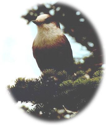
A Canada Jay welcomes hikers to the South Crocker peak