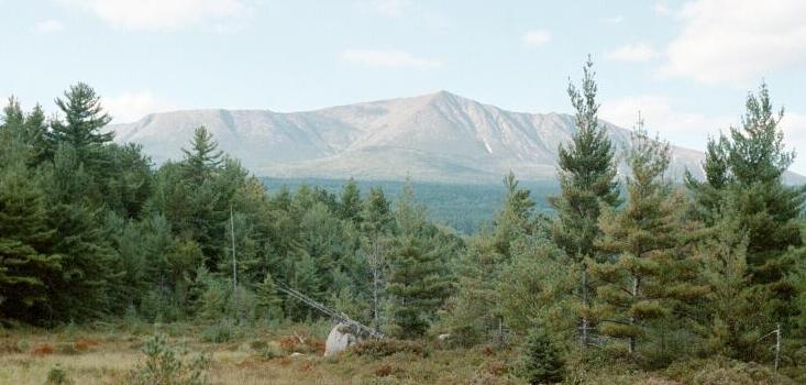
A view of Katahdin from the southeast. Technically this has little to do with my expedition to Hamlin Peak, as Hamlin
is "behind" the peaks seen here, not visible. Baxter Peak is the highest point visible here. The edge of the Table land can
be seen to the left, and the Knife Edge to the right.
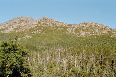
Hamlin Ridge, seen here from a viewpoint along Chimney Pond Trail, is the serrated center ridge of the
Great Basin (it seperates the North Basin from the South Basin). This ridge would be my route of descent later in the day.
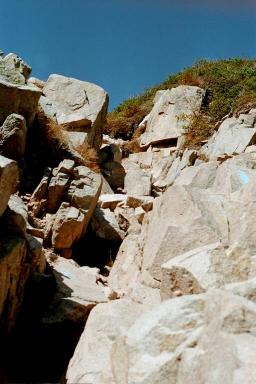
Just a few more feet to go to reach the top of Saddle Slide...
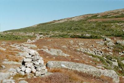
Take a right at the top of the slide and you're looking at this trail toward Hamlin Peak (the peak is up there on the
right somewhere).
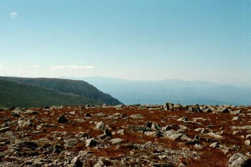
One of many good views from Hamlin Peak. The high plateau on the left is part of the Table Land.
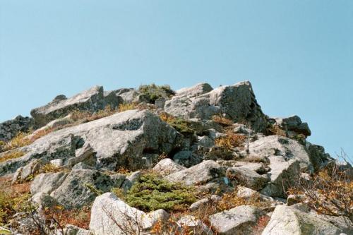
Enjoy the alpine vegetation while descending along Hamlin Ridge.

![]()