|
2001 September 2 - Spaulding Mountain |
|
|
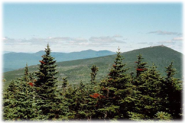
| View to the north from Spaulding |
| Spaulding, at 4010 feet and forested all the way to the top, involves a bit of a hike no matter from what direction it is approached. |
|
Directions
There are several ways to approach Spaulding. From Sugarloaf/USA on route 27, it is 5.5 miles to hike up and over Sugarloaf and down the AT to Spaulding. For those preffering more of a wilderness hike (avoiding the resort area) it may be more interesting to take the AT from Caribou Valley Road, which will be about the same distance or a bit more. Another approach (and the one I chose) is to take Firewarden's Trail to the top of Mt. Abraham, then the side trail to the AT, and on to Spaulding. This is around 7 miles but the hike over Abraham is very rewarding. |
Trail
The firewarden's trail ascending Abraham is described in detail on the Mt. Abraham page. From the summit of Abraham, the 1.7 mile blue blazed AT side trail descends over the rocks and eventually into the woods. From the juntion with the AT it is 1 mile to the Spaulding Mountain lean-to, and about another mile (?) to the short side trail (0.1 mile) which ascends to the summit. Much of the hike is uninteresting, but there are some limited views to the north and west from Spaulding. There are no features of particular note along the trail' it is mostly a woods path with some rocky sections. Footing is not rough. I should have taken a few more pictures, but it was a long trip and I was mostly interested in keeping the ol' body moving! |
![]()